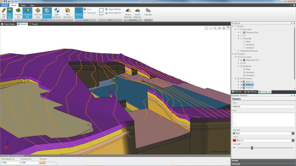
Our customers have been asking for a way to do more with their groundwork plans and civil projects. You use MudShark because it’s easy to use and makes even the most complex volumes easy to calculate. But with the plan loaded, there were other parts you wanted to be able to takeoff so you didn’t have to reload the same plan into other takeoff or estimating software. We listened, and, with MudShark 7, have finally delivered on a way that you can takeoff areas, lengths and counts, without affecting volume calculations.
Counts in MudShark
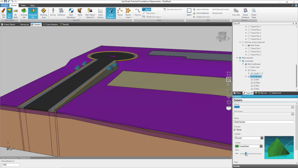
You can now generate count quantities from MudShark. You can customise the 3D count symbol, its size and colour, so as you perform your takeoff in 2D or as you’re inspecting your plan in 3D; you can easily identify the different counted elements. You can even choose whether your counted icons show from the flattened plan, or displayed on top of the 3D rendered site. So whether you want to estimate street lamps, trees, sign posts or anything else you can count, trust MudShark.

Calculating Areas in MudShark
You could already calculate areas from existing volumes, structures or shapes; but now you can calculate areas without including volume depths. Because of the intelligent algorithm in MudShark, you will calculate true surface areas, which take into account any slopes or surface changes. Whether you’re trying to measure an area from your plan that you don’t want to assign depths to, or just need to measure an approximate shape that isn’t even drawn on your plan, MudShark can help.
Measuring Lengths in MudShark
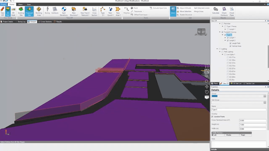
You can utilise the various takeoff tools to measure a length, including snapping if you’re measuring from lines from a plan. But, much like area, you aren’t just limited to tracing existing lines. If, for example, you’re trying to calculate the length of a fence that isn’t on the plan, you can do that freehand, and you can elect for that measurement to take into account contours or other structures.


